We left Cockfosters Station and missed the start of the Loop,we walked up Cockfosters Road for a bit and entered Trent Park and quickly found The LOOP.
.JPG) | |
| Entrance to Trent Park |
We walked through the Park passed a lake to our right and then passed a cafe where we picked up signs for the LOOP.
.JPG)


After leaving Oak wood, which funny enough is mostly Birch we enter Enfield Chase
and past two lakes.When Enfield Chase was parcelled off,George III gave
200 acres here to his favourite physician,Dr Richard Webb as a thank
you gesture for saving the life of his brother the Duke of Gloucester,at
Trento in the Tyol.Subsequent owners included Sir Phillip Sassoon who
enlarged the estate the house and its gardens. The house has seen many
uses including as an interrogation centre for enemy airmen in world war
II and is now park of Middlesex University campus.
.JPG)
I now divert from the path up a steep hill to the Obelisk,with the inscription:
To the memory of the birth
of George Grey Earl of Harold
son of Henry and Sophia
Duke & Dutchess of Kent.
of George Grey Earl of Harold
son of Henry and Sophia
Duke & Dutchess of Kent.
.JPG)
.JPG)

.JPG)

Now concious I've missed some of the loop I walk back to Camlet Moat.

.JPG) |
| Camelot Moat |
Yes, I know it sounds rather far-fetched, but all the evidence (and there is plenty of it) indicates that a real Camelot once existed at the very centre of Enfield Chase, the Royal Hunting Ground of the Plantagenet Kings.
Today it is still there, hidden in woods on the fringe of Trent Country Park, and known as Camlet Moat.
Archaeological digs have been conducted, back in the 1880s and again in 1923 and some interesting finds were unearthed. They suggest a substantial structure with stone walls over five and a half feet thick, a massive drawbridge 38ft long and a subterranean dungeon. Sounds like a castle, doesn’t it? Smaller relics from the Roman period suggest the site is originally of impressive antiquity.
Most local historians have not made the Camelot connection because they seem to have decided that the name was simply inspired by the Arthurian legends. Rather a hasty conclusion since facts don’t bear it out.
The earliest mention of the Camelot name here dates from 1439, when, ironically, Camelot Manor was demolished. That’s forty years before Mallory’s Morte D’Arthur was printed. Local folklore tells us the name dates back a further three hundred years to the time of William the Conqueror, which is nearly a hundred years before the name Camelot first appeared in Chretien de Troyes Arthurian Romances in 1170.
To top them all, at least one leading expert on the etymology of local place names is on record as stating that the name Camelot here is “indisputably of Celtic origin.”
That places it over a two thousand years old, at the very least, and more than a thousand years before the mediaeval Dan Browns started writing about any kind of Camelot.
It is therefore likely the name came from the place itself, so this could be a real Camelot, not a mythical one.
Its lengthy connections to Royalty mean it may even been a location used by, or at least known to, a real warrior King of the ancient Britons. Whether it was ever used by King Arthur, is open to debate, but it is certainly a possibility.
The site also has some intriguing associations with the Grail Legends and is as much a place of magic and mystery as the mythical Camelot.
A cross bearing the name of King Arthur was found nearby and a map drawn by a prominent member of an occult “secret society” shows Camelot at this location rather than the more accepted sites, like Tintagel, Cadbury Castle or Camulodunum.
It has a Holy Well, where apparitions of a Guinevere-like “White Lady” or “Grail Maiden” have been reported and it is regarded as a place of healing, vision and inspiration by many visitors.
The mystical atmosphere here may be fuelled by the fact that it is a crossing point of many ley energy lines and was one of the first sites that triggered the Earthstars discovery – an amazing pattern of sacred geometry linking many of London’s most ancient sacred sites.
Now walking out of Enfield Chase and onto Hadley Road ,there is a view back to the Obeslisk before descending down into the valley.
 |
| View from Hadley Road |
.JPG) | |
| View into the Valley |
 | |
| Another view of the valley. |
The path now follows Salmons Brook,which we cross over by a bridge.
.JPG) | |
| Crossing Salmon's Brook |
.JPG) | |
| Looking up towards Botany Bay. |
.JPG)
I now arrive at the top of the hill by The Ridgeway and stop for a drink of water for me and Ben and look back down into the Valley from where we'd come.
.JPG)
We now enter Brooke Wood, planted in 1991 in memory of Councillor Roger Brooke -This isn't shown on The OS Map. After exiting the wood there are views across to London.

Now I exit onto The Ridgeway by the Royal Chace Hotel.
.JPG)
We cross the road and down a lane that leads the source of shooting we can hear at Rectory Farm,apparently clay pigeon shooting for £27. Then round to The Red house.
.JPG)
.JPG) | |
| The Red House |
.JPG) | |||
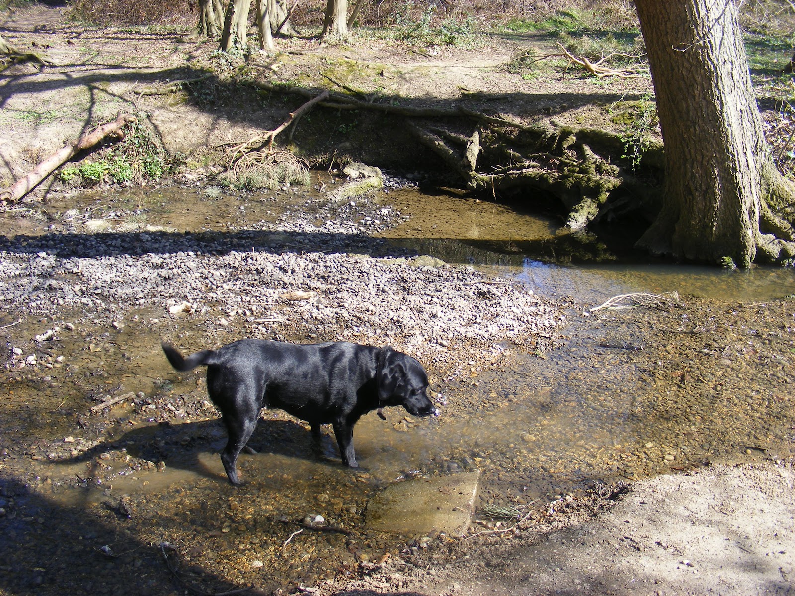
| Shame fancied a gallop about now :) |
Crossing over Turkey Brook we now pass The Red House.
.JPG)
.JPG)

.JPG)
The path exits the wood and down into Hilly Fields Park and crosses the Turkey Brook.
.JPG)

 | |||
| Typical you wait all day for a bench and eight come along at once! |
You now cross Clay Hill Road by the Rose and Crown pub before continuing following the Turkey Brook.
.JPG)
.JPG) | ||
| A wren by Turkey Brook. |
.JPG) | ||||
| Wood Anemone by Turkey Brook. |
.JPG)
.JPG)
.JPG) |
| This was probably the fish pond of Elsynge House,a fashionable address in Elizabethan times. |
A little further along I got to see my first Mandarin duck on the Brook.

We now exit by a road and cross to continue the LOOP.
 |
| Maidens Bridge |
We follow along and I can't help to notice we must be nearing Enfield as signs of industry became apparent.
We cross the A10 via means of a foot bridge.
.JPG) |
| Crossing the A10 |
Again along a pathway that leads out onto a road and past The Turkey PH. Thankfully I had my guide as no signs were present showing the way. The first of many non exsistant signs. Enfield Borough seem pretty poor at the sign-age
 | |
| The Turkey PH |
.JPG)
I came to Enfield Lock Station where I got back on the LOOP and followed this back down to the Brook.
.JPG)
.JPG)
 | |||
| Enfield Lock |
.JPG)
Now either I was getting very tired or there were no signs but again I took the wrong path and followed a wrong canal path adding 2 miles.
.JPG)

.JPG)
Now I was back on the right path at last,making my way alongside King Georges Reservoir which you can not see at this point.

.JPG) |
| Mute Swan on its nest |

After a mile the path comes out into a road and then crosses the road where after a hill climb I get the views back to King George Reservoir.
.JPG)

.JPG)
The path emerges by Carrolls Farm where I took a nice picture of a cottage by a pond.
.JPG)
Gilwell Park is a camp site and activity centre for Scouting groups, as well as a training and conference centre for Scout Leaders. The 44 hectare (109 acre) site is in Sewardstonebury, Epping Forest, close to Chingford, London.
In the late Middle Ages the area was farm, growing to a wealthy estate that fell into disrepair towards 1900. It was bought in 1919 by Scout Commissioner William de Bois Maclaren and given to the Scout Association of the United Kingdom to provide camping to London Scouts, and training for Scouters.

.JPG)

After leaving the meadow along a road I am on the home straight to Chingford Station.
.JPG)
.JPG)
Lovely photos from my past. Used to walk this route and many others in the 1960s with my grandad. In the 1960s this area was so different. Thanks for showing them.
ReplyDelete