I decided to set off to do another section of The London LOOP after a few weeks of heavy rain. I made my way to
Elstree/Borehamwood Rail Station to begin the walk. This walk of the LOOP has the most road walking so far.
After leaving the station and crossing back over the line,I turn left after the petrol station onto Deacons Hill Road.
 |
| Deacons Hill Road,Elstree |
At the top of the hill I turned left onto Barnet Lane.
A little further up were two ventilation shafts for the Midland Mainline railway
passing through Deacons Hill.
I eventually leave the road and walk through
Scratchwood Nature Reserve.
Scratchwood gave its name to the M1 services and so
this section of the walk was accompanied by the constant rumble of traffic on
the motorway 500 metres away.
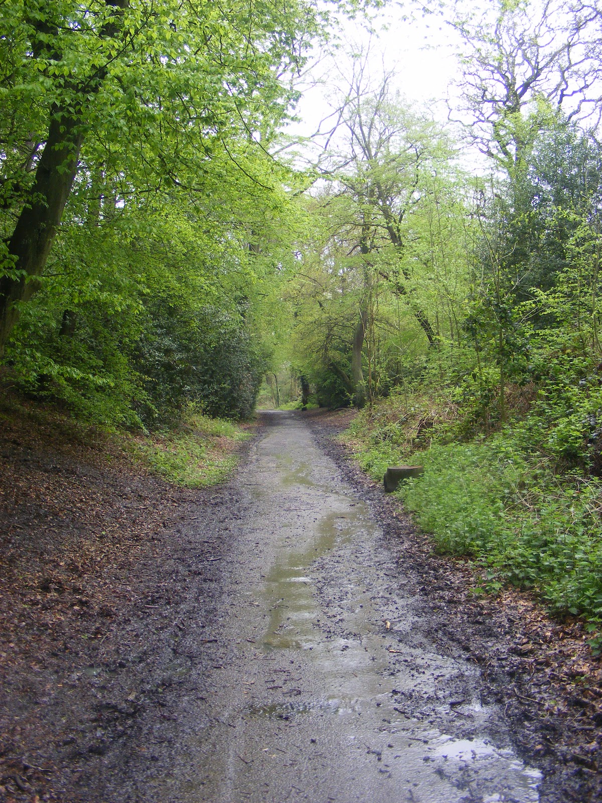
The water was running off the hills and the paths became streams!
After leaving a muddy and water logged Scratchwood I now have a long
walk along the A1(T) to cross under it via a subway and then back along
the A1(T). If it hadn't had a high central reservation fencing I'd been
tempted to run across!
After a long walk along the A1(T) we enter
Moat Mount Open Space.
Once both Scratchwood and Moat Mount were part of one big shooting
estate and the conifer belts encouraged the game birds to fly high.
This was also the location of Moat Mount House landscaped in the 19th Century with some exotic plantings,including Wellingtonia.
Looking back to where I came.
Crossing more paths and flooded fields. My boots waterproofing was well tested.
After a walk, I came out onto Hendon Wood Lane, full of posh looking houses,obviously a well to do area.
.JPG) |
| Wonder how much this place would be?? |
|
After more road walking along Hendon Wood Lane, we then enter
Totteridge Fields,managed by London Wildlife Trust.
Now following the
Dollis Brook,which had burst its banks and the whole fields surrounding it were waterlogged.
And suddenly we are on the edge of Barnet.More road walking that takes me past
Barnet Football Club.
A short way after I came to a t junction the LOOP goes left for those
who want to cut short the walk and go to High Barnet Station. I turned
right to continue along the road ,crossing and turning up Potters Lane
by the sign.
Along potters Lane we turn into a field that runs next to High Barnet Tube Station.
Now we cross into King Georges Fields.This hillside of open fields and
old hedgerows was acquired as open space in the early 1930s to celebrate
the reign of King George V.
I turned around with views back to London. On a clear day you can see to the QEII Bridge and the
North Downs.
At the top of the hill I came to
Hadley Green.Here at the highest point along the Great North road,is the likely location for the decisive
Battle of Barnet on Easter Sunday 1471,when Warwick the Kingmaker was slain and his cause lost in the mist.
The
Battle of Barnet was a decisive engagement in the
Wars of the Roses, a dynastic conflict of
15th-century England. The military action, along with the subsequent
Battle of Tewkesbury, secured the throne for
Edward IV.
.
Then along the road I saw
Hadley House,a one time Manor House.
 |
| Hadley House |
A few houses along is the 18th century Livingstone cottage. Where the famous explorer
David Livingstone lived briefly in the 1850s on returning from his first African trip.
Just around the corner are the
Sir Roger Wilbrahams Almshouses,a low run of mellow brick,founded here in 1612 for six decayed housekeepers.
.JPG) |
| Almshouses |
|
Following the road round I came upon
Church of St Mary the Virgin,Monken Hadley.
Upon the tower is a beacon sometimes called the Armada beacon,but more
likely to have been set there by the monks of Hadley. to guide
travellers over the wilds of Enfield Chase.(The village was owned by the
monastery of Walden,Essex through the middle ages.)
.JPG) |
| The Beacon |
|
Now as I venture through the white gates I am entering Chase
Country.Here was once a great Royal hunting forest,stretching out to
Potter Bar,with few residents except for some 3000 deer.Queen Elizabeth
and other monarchs hunted here,but fashions changed and Enfield Chase
became a neglected wilderness.George III finally gave in to demands and
in 1777 an act of Enclosure saw the Chase parcelled off.Some was
sold,but Hadley folk claimed grazing rights and managed to get 240 acres
for their common.
.JPG) |
| The white gates to Enfield Chase |
I now follow the road alongside
Monken Hadley Common.
.JPG) |
| More gates marking the Chase |
|
|
Now along Bakers Hill I enter a wood and after a while I cross the East Coast Mainline railway lines.
Following along a sunken path I come upon Beech Hill Lake,the locals
still call it Jacks lake.After Charles Jack created it around 1880 as a
feature in the grounds of his Beech Hill House.
.JPG) |
| Jack's Lake |
|
Now after exiting the woods I come to the
Cock and Dragon pub.From here I took a wrong turn and added about half a mile to the walk.
Back on the right track I pass yet another football club,obviously non league.
I now pass
Christ Church in Cockfosters before joining the road and crossing over to Cockfosters Tube Station.
.JPG) |
| Cockfosters Tube,end of the Piccadilly Line and the end of the line for todays walk. |
11 miles in all,tired and very muddy I headed off home.

.JPG)
.JPG)
.JPG)
.JPG)
.JPG)
.JPG)

.JPG)
.JPG)
.JPG)
.JPG)
.JPG)


.JPG)

.JPG)
.JPG)
.JPG)


.JPG)
.JPG)

.JPG)


.JPG)
.JPG)
.JPG)
.JPG)
.JPG)
.JPG)
.JPG)


.JPG)
.JPG)
.JPG)
.JPG)
.JPG)
No comments:
Post a Comment